Six Ways IoT networks are helping communities adapt to a hotter world
 Alper Yegin
Posted On 23rd August 2026
Alper Yegin
Posted On 23rd August 2026
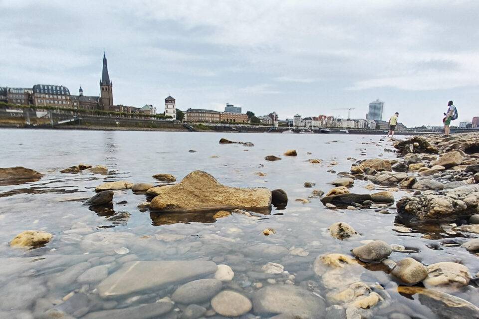
Europe is in the grip of another summer of record heat. Wildfires have broken out, water utilities are managing drought restrictions, and healthcare facilities are on alert for heat-related illness. This pattern is the new normal for summer, and it threatens to compromise much of the infrastructure that keeps communities safe.
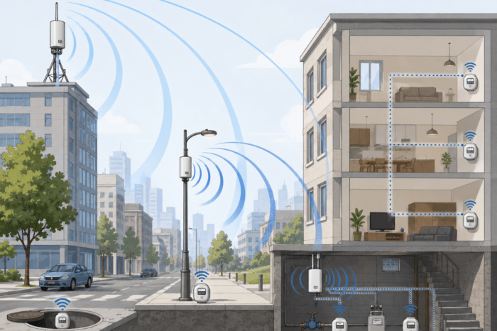
The world needs to quickly adapt. Public conversation about how to do so tends to focus on large, visible interventions: new reservoirs, flood barriers, cooling centres. Meanwhile, IoT is playing a less visible, but increasingly central role in how cities, utilities and emergency services respond in the moment to changing climate patterns. More specifically, a layer of low-power wireless sensor networks is emerging to feed real-time data to officials to support faster and sounder decision-making. In doing so, these networks are vastly improving a process that used to rely on manual checks, satellite imagery or public reports alone.
LoRaWAN, the IoT connectivity method with the highest accessibility, most robust ecosystem, and widest adoption of any LPWAN technology, is serving as the foundation for many of these networks.
LoRaWAN’s combination of long range, multi-year battery life and low deployment cost has made it the practical choice for monitoring remote, difficult-to-reach or high-volume locations, all of which are key to making strides in this new era of climate adaptation.
Across six areas of climate-related risk, LoRaWAN networks are already operating at scale, run not by a single vendor but by an ecosystem of LoRa Alliance member companies applying the same open standard to different problems.
1. Wildfire detection and prevention
Wildfire risk is not evenly distributed across a forest or a province, but the rules meant to manage it often are. Blanket fire ordinances and burn bans can cover hundreds of square kilometres and affect many residents and farmers in these large areas. However, such widespread bans often are based on human judgement when the reality is that conditions vary enormously from valley to valley. In this environment, real-time data would provide a much clearer picture of potential risk on a more localized basis, and a more accurate assessment of preventative measures that need to be taken.
In Salzburg, Austria, the regional Forest Department relied on fire ordinances developed through periodic consultation between forestry experts and the Austrian weather service. The resulting rules were applied uniformly across large areas and were not always well matched to conditions in any one location, which reduced public compliance, including among farmers carrying out routine hay burning for soil preparation. Monitoring was also constrained by how many forestry experts and field staff were available to assess conditions in person, which slowed the flow of up-to-date information and made it harder to act on emerging risk before it became a fire.
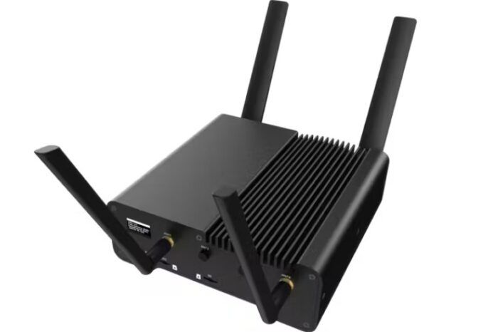
Working with the Forest Department, LORIOT Verso provided a better option. The company built a real-time environmental monitoring network across the province using six Kerlink LoRaWAN gateways and 15 Decentlab sensors, including seven weather stations, seven humidity sensors, and a deep soil humidity sensor reading 60 centimetres below the surface. Together, the sensors track up to 11 environmental parameters, including solar radiation, precipitation, air temperature, and humidity, across an estimated 350 square kilometres. The data feeds into an algorithm that calculates the Fire Weather Index, the meteorological measure used internationally to estimate fire danger. The results are presented through a dashboard and automated reporting, replacing reliance on periodic manual assessment with a continuously updated picture of the risk.
The Forest Department can now rely on evidence-based views of real conditions to identify fire risk potential by specific region, and on a valley-by-valley basis. This means forest officials can make more targeted decisions, such as announcing a localised campfire ban rather than issuing one for a much larger area. The network has also improved compliance and cooperation with Forest Department decisions among farmers, who can better understand the data-backed reasoning behind each fire ban.
2. Water conservation and infrastructure resilience
Drought does not just reduce water supply; it exposes how much treated water utilities were already losing before the tap was ever turned on. Non-revenue water, which is water lost to leaks, theft or metering error, is typically only identified through manual inspection or when a pipe fails outright.
In Húsafell, Iceland, households and the local utility had no way to see consumption patterns between periodic billing reads. Abnormal usage or a slow leak could go unnoticed for months, and any conservation effort had to rely on general awareness campaigns rather than specific, actionable data.
MAINLINK replaced that manual, periodic cycle with a LoRaWAN-connected smart metering programme delivering continuous, near-real-time consumption data to both the utility and individual households. Customers no longer had to wait months to see this information on their utility bills. Water usage fell by 30% as a result of this new data visibility, which also made it easier to spot abnormal use as it happened rather than long after the event.
3. River, reservoir, dam, and groundwater monitoring
LoRaWAN networks can enable more than just monitoring the consumption of a resource like water. They also can support monitoring of the resource itself. The same summer that brings drought to one region can bring flash flooding to another. Both situations can quickly alter the water levels of dams, reservoirs, or rivers. It is essential to have access to current data and not reports based on inspections that occurred much earlier.
At the Chorinsky-Klause dam in Austria, water level and flood risk assessments historically depended on physical site visits conducted on a fixed schedule to isolated monitoring points. It was a laborious process that did not provide quick access to fresh data on how changed during heatwaves or a sudden storm.
Milesight improved on this model by deploying real-time water-level monitoring sensors at the dam that report continuously rather than on a fixed inspection cycle. This gives operators a live picture of conditions, including both water level changes and ongoing structural integrity (the latter being extremely important in the case of a dam). As a result, they can make faster and more reasoned decisions on water management and structural safety.
4. Public safety and protecting vulnerable populations
Heat does not affect every building, or every resident, equally, and this is where human stakes are most clear. Indoor temperatures can vary sharply between rooms in the same building during a heatwave, and the people most at risk of heat-related illness are often the least able to report discomfort themselves or move to a cooler space unassisted.
Across multiple retirement homes in the UK and a care home in Scotland, staff historically only knew which rooms were overheating by physically walking through the building. This process was too slow relative to how quickly a hot, confined space can become dangerous, and difficult to sustain consistently across every room and every staff shift.
MClimate deployed room-level temperature monitoring and heating control across these facilities, giving staff a continuous, building-wide view of conditions in every room. This allows staff to immediately identify which rooms are overheating and need attention without having to conduct a physical walk-through of the building, ultimately helping the facility provide better care to residents who may not be able to raise the alarm themselves.
5. Environmental monitoring and smarter city planning
A single city-wide weather forecast can hide the substantial differences in heat exposure occurring at the street-by-street level. For example, a shaded park and an unshaded car park a few streets apart can differ by several degrees, a difference invisible to the forecast but very real to whoever is standing in either location.
Planners in the Netherlands making decisions about where to invest in shade, tree cover, or cooling infrastructure worked only from city-wide temperature averages or short-term data, neither of which could reliably distinguish a recurring hot spot from a location where the temperature spiked only briefly during an unusually hot summer.
But, for the last six years, Decentlab has run a continuous urban climate monitoring deployment across parks, roads, and residential areas. The resulting dataset is long enough to show the difference between a real temperature pattern and a one-off anomaly.
Planners now have street-level, multi-year evidence of exactly which neighborhoods run hottest, and how much cooler a park is than the built-up area beside it. Now they can make data-led decisions about where to invest in shade or cooling.
6. Cold-chain monitoring for healthcare and food
While LoRaWAN-powered sensors monitor dynamic temperature changes like those mentioned above, they also can be very helpful in monitoring the status of temperatures that must remain consistently cold. This is especially true in the case of refrigerators and freezers that keep medicines and vaccines within safe temperature ranges. Their ability to maintain consistent cold conditions can be affected by high external temperatures or by operational and power failures, incidents that could occur outside normal working hours and may not be noticed quickly by staff.
Across the Viamed hospital group in Spain, an undetected and uncorrected cold-chain breach could compromise the safety of stored medicines and vaccines and render them unusable. The hospital group’s only safeguard was a periodic manual check on its cold storage units that might have discovered a temperature change after it was already too late.
Aritium deployed continuous temperature monitoring across Viamed’s hospitals, providing an ongoing record and an immediate alert the moment stored medicines or vaccines drift outside acceptable ranges. This helps facilities avoid cold-chain breaches that otherwise could hinder their ability to effectively treat patients.
An open standard, not a single vendor’s story
What connects the six examples above is not one company’s technology but one open standard, adopted by an ecosystem of manufacturers and network operators worldwide. In each case, a LoRa Alliance member firm applied LoRaWAN technology independently to a problem specific to its community, climate and infrastructure. That combination of openness, low cost, and long battery life is precisely what makes LoRaWAN suited to climate adaptation use cases Its high accessibility, robust ecosystem support, and wide availability translate to a technology that can be deployed at the scale and reach that resilience planning actually requires–in a forest, a dam wall, a care home corridor or a hospital cold store, as well as many other locations. LoRaWAN can be called on wherever it is needed to dynamically provide fresh data on rapidly changing conditions.
The organisations already running these networks are worth watching as early proof of what climate-resilient infrastructure looks like when it is built on an open, low-power connectivity standard that can extend coverage to remote and otherwise challenging environments.

You may also like